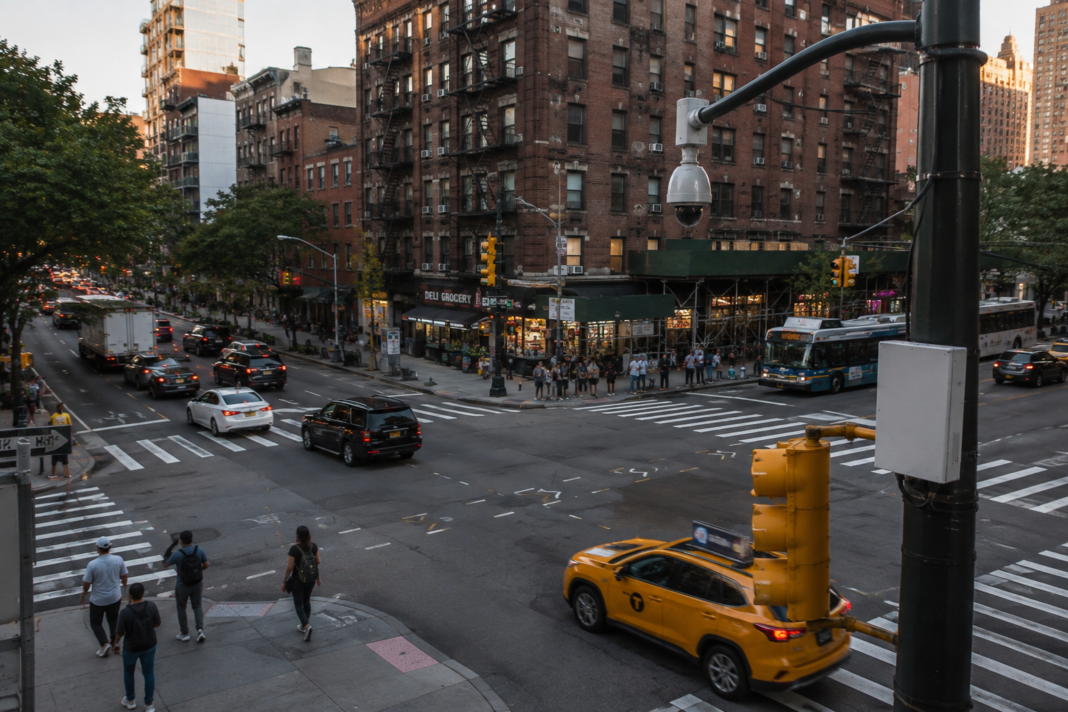
Ask someone in a neighbourhood which intersection is dangerous and they will probably have an answer.
It might be the corner where drivers routinely accelerate through a yellow light. The crossing where pedestrians hesitate before stepping off the curb. The bus stop where vehicles frequently block the lane. Or simply the intersection everyone locally knows requires a little more caution.
These observations matter. Communities experience their streets every day. But building safer transportation systems requires agencies to go one step further: turning what people experience into something that can be measured, understood and acted upon.
That begins by changing the question.
Instead of asking “Is this intersection dangerous?”, transportation agencies can ask: “What patterns of risk are occurring here, how frequently are they happening, and under what conditions?”
Looking beyond collisions
Traditionally, collision history has been one of the most important indicators used to identify dangerous locations. But collisions tell us about events that have already happened.
A data-driven approach can create a much richer picture.
Vehicle speeds, prohibited movements, red-light violations, blocked transit lanes, pedestrian conflicts, time of day, traffic volumes and recurring near-conflict behaviours can collectively reveal how an intersection functions over time.
The distinction is important.
One driver running a red light is an incident. Twenty similar movements during the same afternoon period every week are a pattern.
And a pattern gives transportation professionals something they can investigate.
Perhaps signal timing needs to change. Visibility may be inadequate. Vehicles may regularly obstruct a sightline. A transit stop could be creating unexpected movements. Enforcement may be required during particular periods. Or the physical design of the intersection itself may need reconsideration.
The objective is not simply to identify bad behaviour. It is to understand why risk repeatedly concentrates in a particular place.
Creating a continuous picture of the street
This is where intelligent transportation infrastructure can fundamentally change how communities understand safety.
A camera or sensor should not simply be thought of as an enforcement device. Properly governed, it can become part of an analytical layer that continuously helps agencies understand what is happening at the curb and within the intersection.
Instead of relying exclusively on periodic traffic studies, complaints or individual observations, agencies can identify trends across days, weeks and months.
That might reveal that speeding increases after 8 p.m., for example, or that prohibited turns cluster around the morning commute. It might show that vehicles consistently enter a transit-only space when congestion reaches a particular level.
Importantly, much of this analysis does not require identifying individual drivers.
Aggregated and de-identified information can help transportation agencies understand frequency, location, direction, time and type of event while maintaining a deliberate separation between analytical data and information required for an authorized enforcement process.
That distinction is central to building responsible smart-city infrastructure.
From assumption to intervention
Better data does not automatically make an intersection safer. What it can do is give decision-makers better evidence for deciding where, when and how to intervene.
It also creates a way to measure what happens afterward.
If a municipality changes signal timing, does risky behaviour decline? If a transit agency redesigns a stop, are there fewer conflicts? If enforcement is introduced, does compliance improve? If the street is redesigned, does the pattern disappear—or simply move somewhere else?
This creates a continuous cycle:
Observe. Understand. Intervene. Measure. Improve.
For SaferSmart Zones, that is the larger opportunity behind intelligent road infrastructure.
The safest intersection is not necessarily the one with the most cameras, signs or enforcement. It is the one where agencies understand what is happening well enough to make the right intervention—and have the data to determine whether it worked.
Because ultimately, a “dangerous intersection” should not be a permanent label.
It should be a problem we can understand well enough to change