How it works

From roadway activityto informed action.

SaferSmart Zones connects compatible infrastructure, software, validated information and program workflows to help organizations understand defined safety challenges and determine appropriate responses.
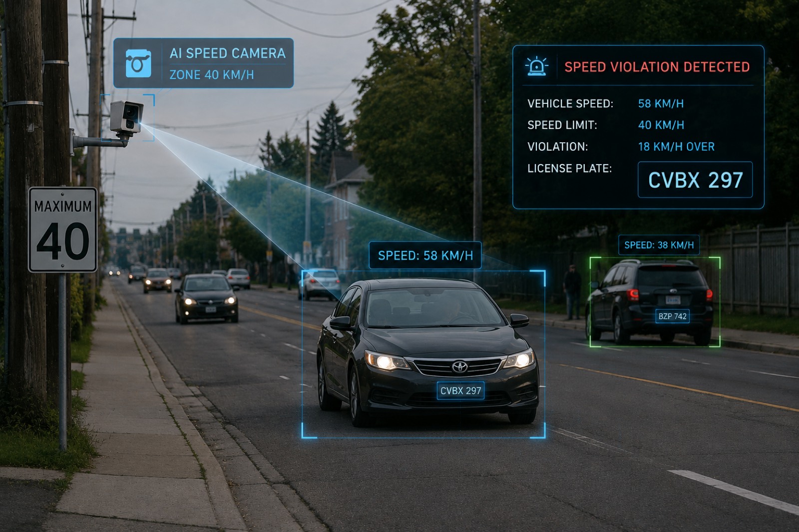
A municipal arterial road with roadside camera infrastructure mounted on a utility pole, vehicles approaching in both directions and a posted speed-limit sign.

The path

Every step is visible, and the last one belongs to a person.

  1. 01

    Real world

    A defined zone with a defined behaviour worth understanding.

  2. 02

    Camera

    Compatible infrastructure, existing or newly installed.

  3. 03

    Platform

    Events are received, organized and made reviewable.

  4. 04

    Validation

    Information associated with an event is cross-checked and strengthened.

  5. 05

    Evidence

    Imagery and data are assembled into a single reviewable record.

  6. 06

    Review

    A person at the organization examines the record and decides.

    Authorized human review

The core model

Detect. Validate. Act.

Three moves. Everything else on this site is one of them in more detail.

  1. 01

    Detect

    Capture defined roadway or site activity using compatible infrastructure — across intersections, transit environments and priority traffic corridors.

  2. 02

    Validate

    Organize and strengthen confidence in the information associated with an event, so what an organization acts on holds up to scrutiny.

  3. 03

    Act

    Support a defined program response using validated information — awareness, operational change, enforcement, or a combination.

The platform prepares the record. Defined program decisions remain subject to authorized review inside the organization.

Request a demo

See the whole pathon your own corridor.

Canada + United States