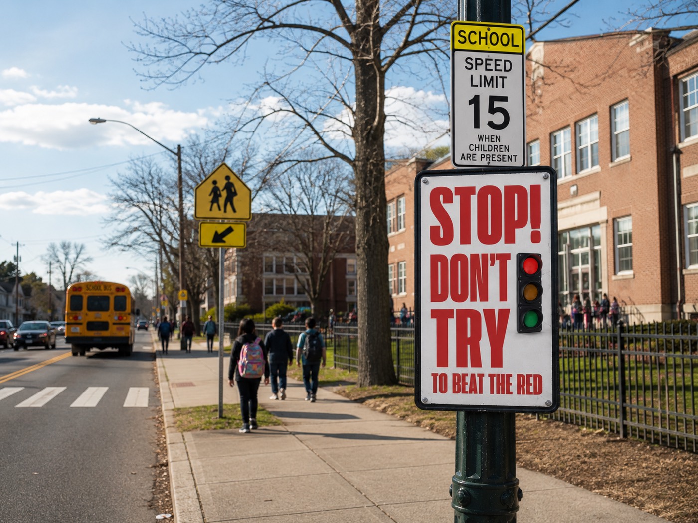
School Zone Safety
Observe vehicle behaviour on approaches to schools and other high-risk pedestrian environments, organize what was captured into a reviewable record, and give the responsible organization a…
Read moreNews & insights
Writing on what we see in the corridors we work in — how safety programs get built, where data helps, and where it does not.
Observe vehicle behaviour on approaches to schools and other high-risk pedestrian environments, organize what was captured into a reviewable record, and give the responsible organization a…
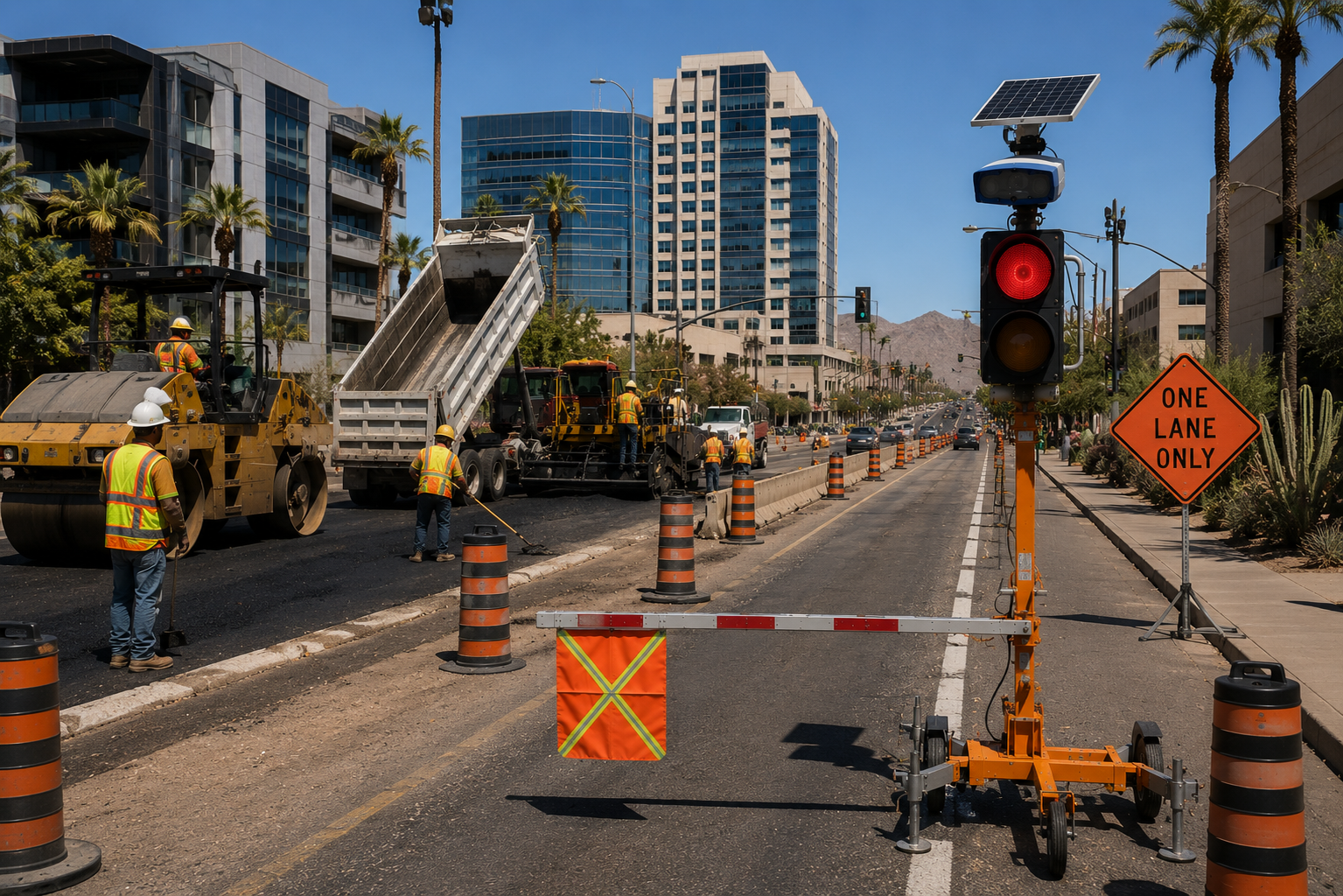
Read moreConnect existing work-zone cameras and traffic-control infrastructure to the SaferSmart Zones platform to identify potential safety events, organize supporting evidence and give authorized teams a clearer…
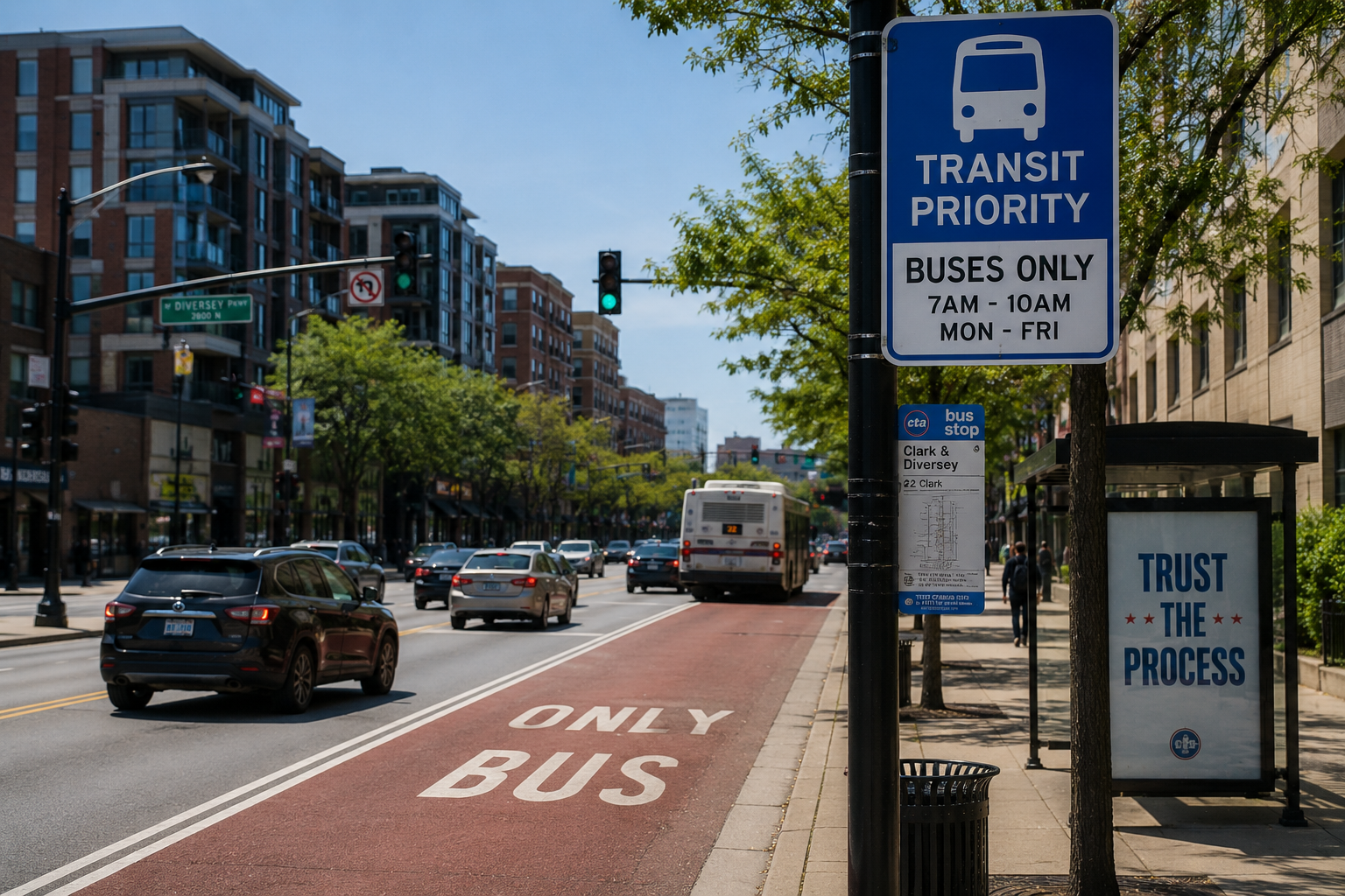
Read moreIdentify vehicles obstructing dedicated transit infrastructure and affecting service. A priority lane only delivers priority while it stays clear, and a corridor-level view shows where and…
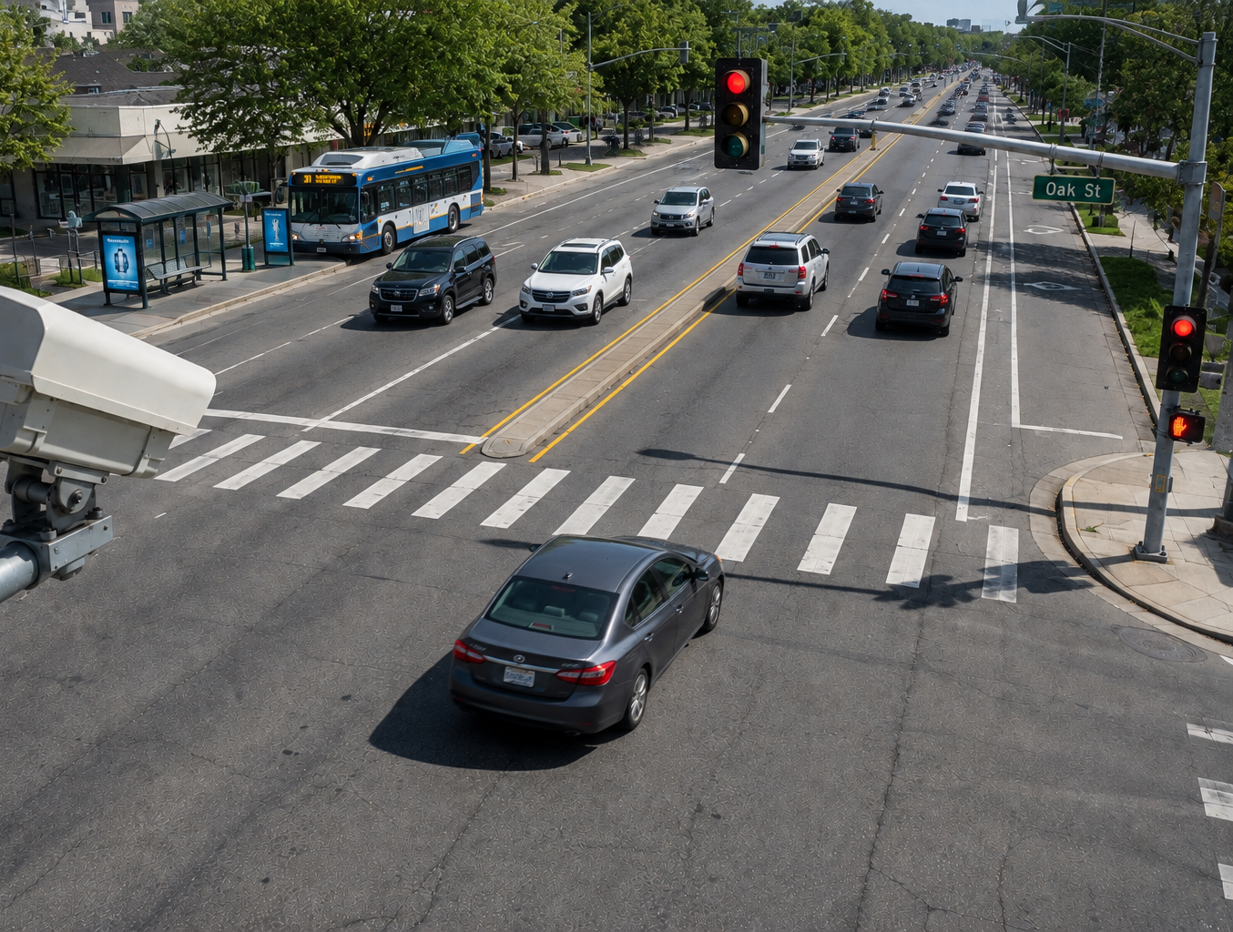
Read moreIdentify potentially unsafe vehicle movements and traffic-control events at intersections. Signalized intersections need more than a record that something occurred — they need the pattern behind…
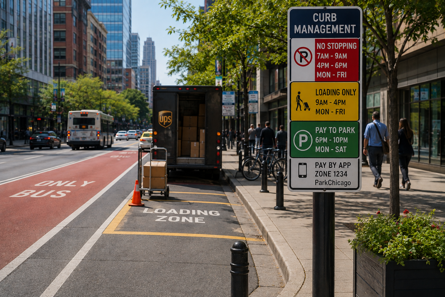
Read moreProvide better visibility into unauthorized or problematic curb usage. The curb is the most contested piece of a modern street, and most organizations are managing it…
Read more